
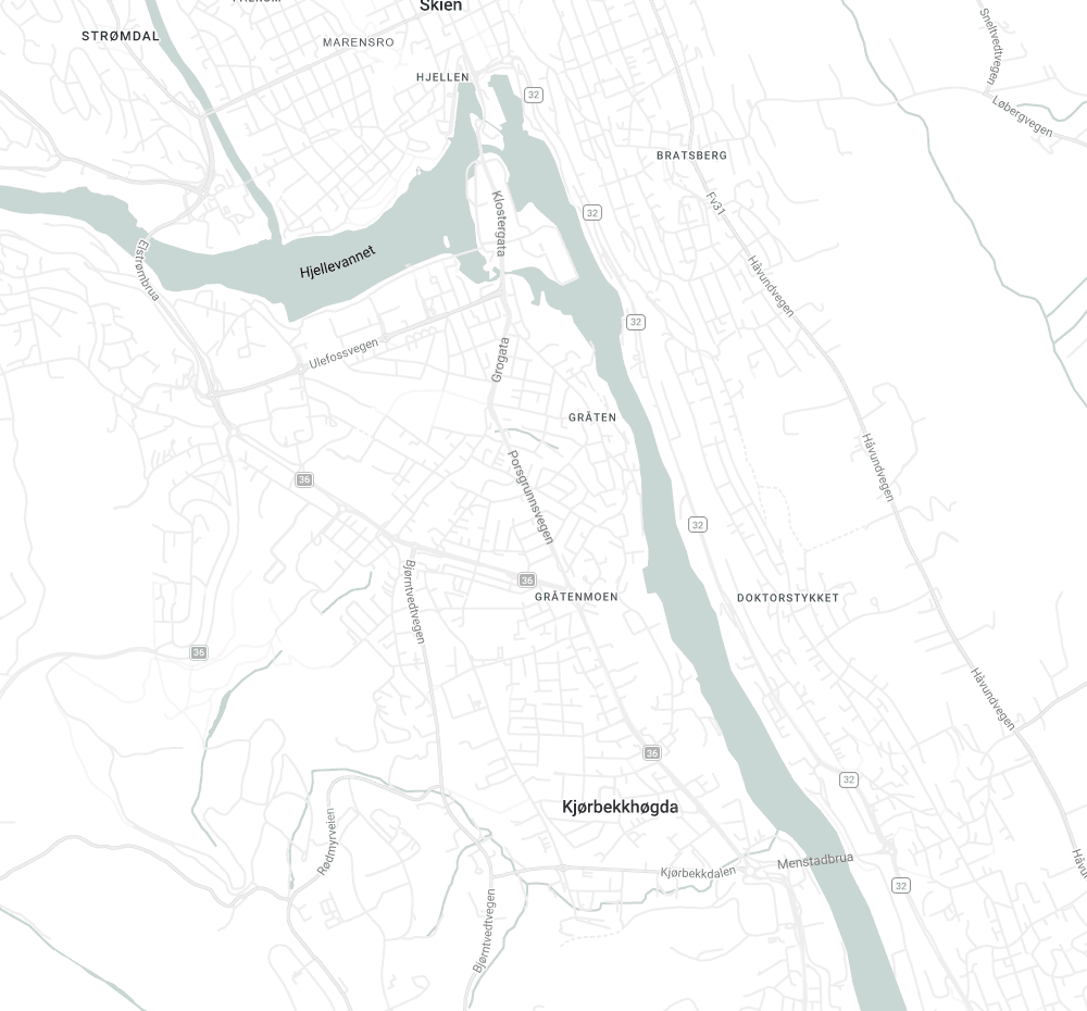
Every sign, marshal and vehicle — live on one map.
LocusBase replaces paper route books, radio guesswork and phone calls with a GPS-verified workspace for planning and running road races. Mobile, tablet and desktop — in real time.
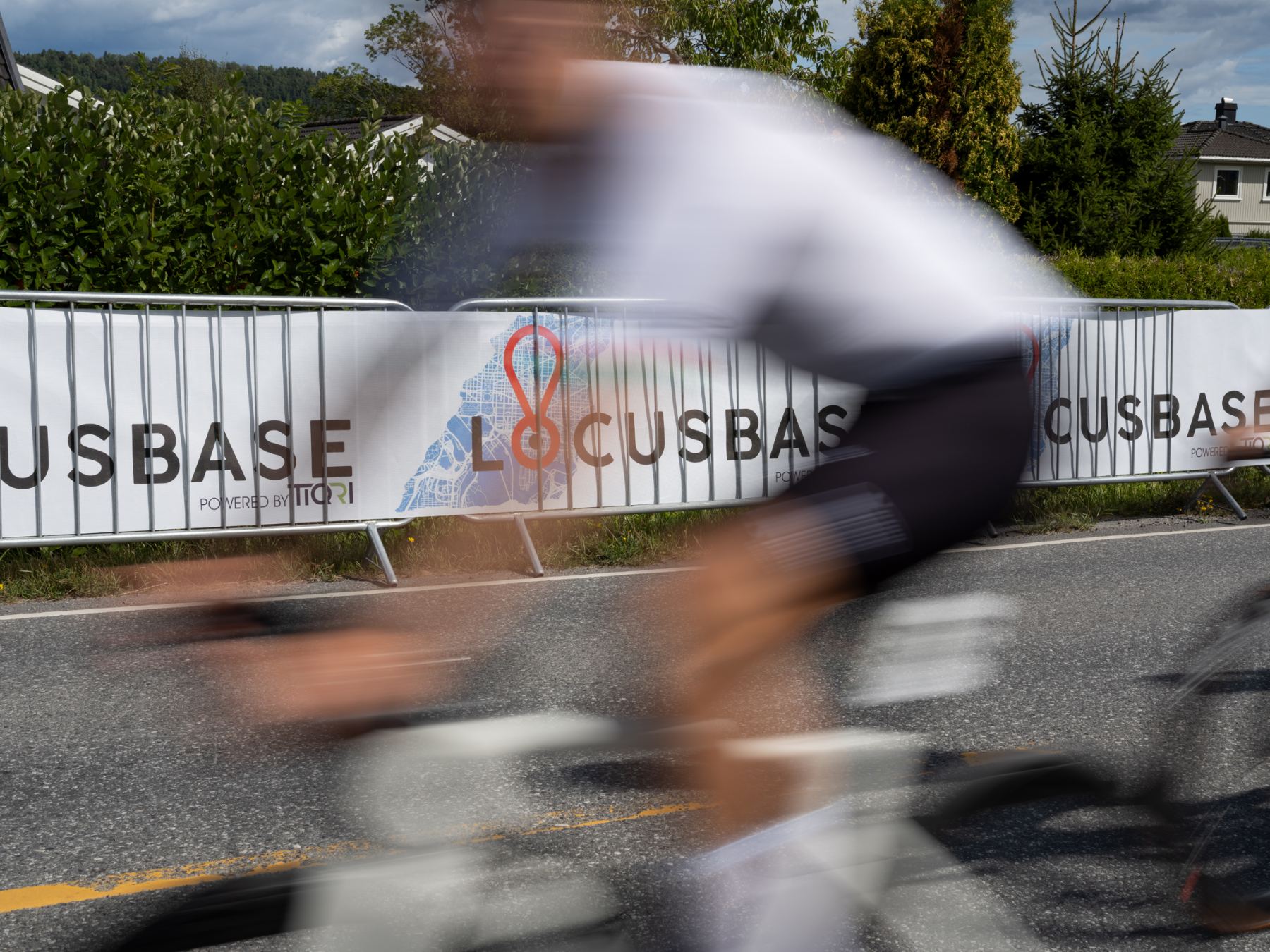
Race safety still runs on paper and phone calls.
A race director sets out hundreds of signs and dozens of marshals along an open road, then loses sight of all of it the moment the race starts. Was the sign actually placed? Is the marshal at the right junction? Where is the convoy right now? Today the answer is a radio call and a guess.
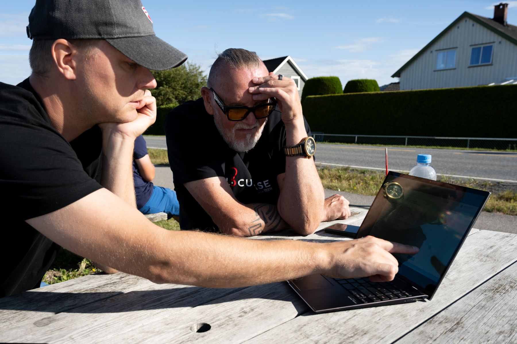
Course planning, Grenland — the way it works today.
One platform for safety during cycling races.
The system brings planning, sign tracking, marshal check-in, and vehicle tracking together in a single platform. Available on mobile, tablet, and desktop.
The race director gets a complete real-time overview of the entire safety operation: where the signs are placed, that the marshals are at the correct posts, and where the convoy vehicles are located, with automatic alerts the moment anything deviates.
Planning
Simple, clear planning of races all in one place. Lay out courses, place marshals, signs, and convoy vehicles, and mark feed zones and other zones. The system ensures that critical safety points are in place before the race can start.
Sign deployment
A dedicated system for deploying signs gives a live overview of which signs have been set out. The person putting out the signs gets a full overview and navigation to the nearest sign, so the job gets done faster and more efficiently. The same applies to taking the signs back down.
Reconnaissance
A dedicated reconnaissance module lets the crew report hazards and obstacles on the roadway on an ongoing basis. The findings are documented directly in the planning and shown on the map with photos and a description from the person who carried out the reconnaissance.
Marshals
Marshals log in on their own phone and are tracked only while they are on duty. They see where they are supposed to stand and get their exact position. On arrival, the marshal confirms that he is at his post, and the status becomes visible in the system.
Vehicle tracking
On race day, all cars and motorcycles log in and are GPS-tracked. The system shows all logged-in units live, with their exact position along the course. Observer access lets the announcer, judges, and other relevant parties follow the race in real time.
Rider alerts
We are working purposefully on a solution for automatic alerts if a rider leaves the course or is involved in a collision. Once it is in place, an alert will go live and directly to both the race director and the rider’s own team.
From plan to race day in four steps.
The same data carries through the whole event. Nothing is re-entered, and next year's edition starts as a copy of this one.
Plan the course
Draw stages, set direction and passes, mark neutralisation zones and place every sign and marshal position on the map.
Get approval
Police and road authorities review the same plan in the system and approve it, instead of a PDF sent back and forth by email.
Deploy the signs
Crews are navigated to the nearest position and register it as set out. The director watches the course fill up, sign by sign, post by post.
Run the race
Convoy, marshals and incidents live on one screen, with alerts on deviation and a full log when the race is over.
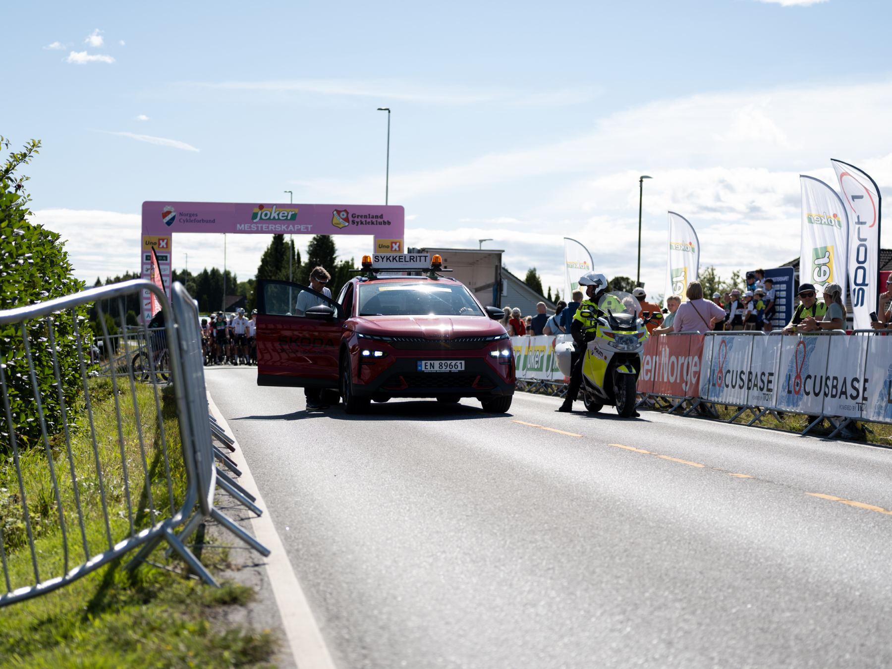
The global standard for digital event safety.
LocusBase exists to replace manual, paper-based routines in cycling and sports events with an intuitive, GPS-verified platform that gives race directors full control — in real time.
Roadmap and team →Built and proven
Founded, developed and validated live across two international races.
Norway and Scandinavia
Commercial launch as a subscription per race or season, with authority integrations in place.
Europe and beyond
Expansion to international organisers, and to marathons, triathlons and mass events that close roads.